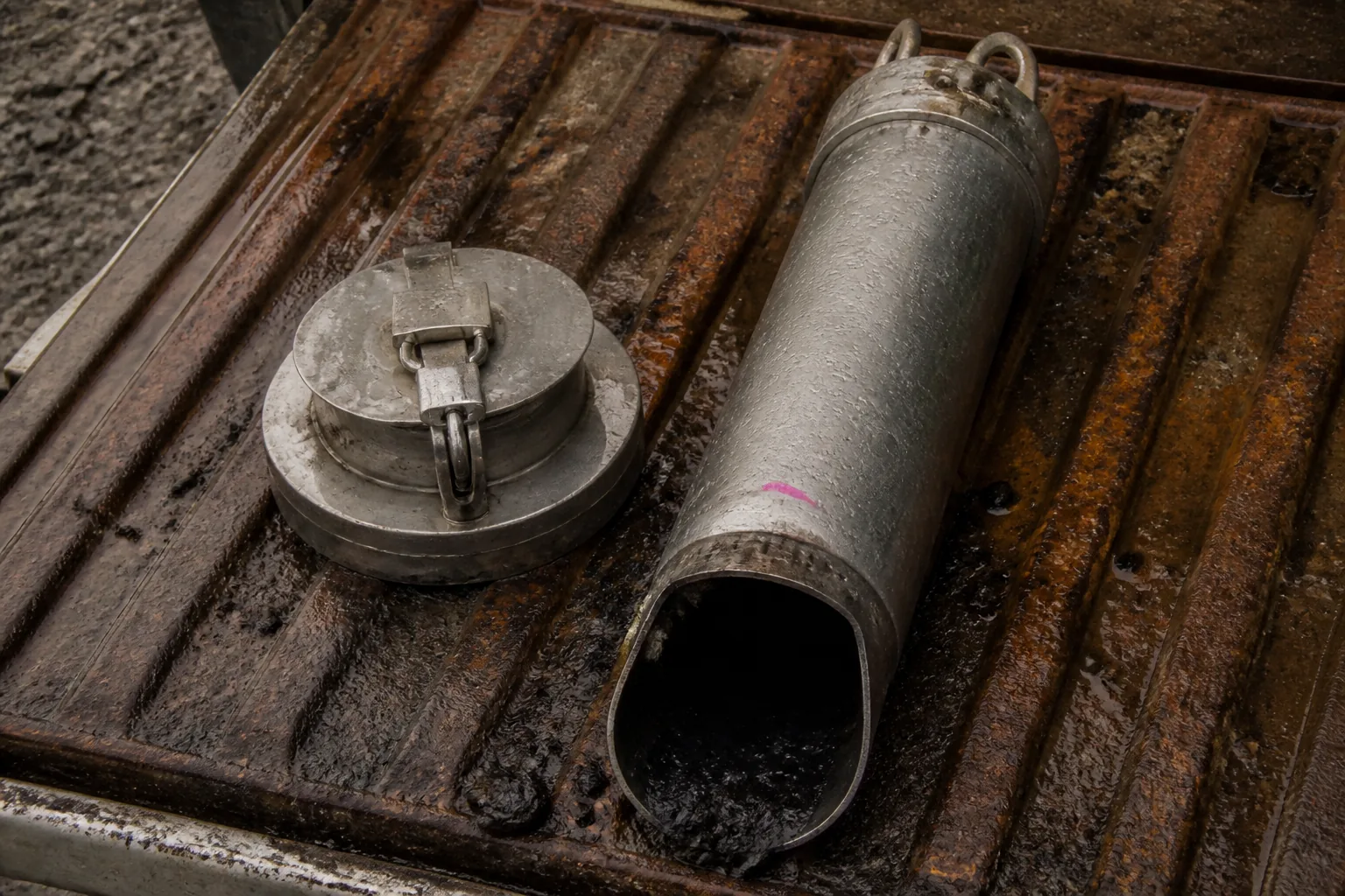
At Key Lake in northern Saskatchewan, the former Deilmann pit holds tailings.
Not as a hole in the ground that makes an industrial residue disappear.
The mill has already separated a mineral product from finely ground rock and process water.
The facility receives what remains, as slurry.
For every tonne of dry tailings there are two inventories.
One is solid.
It accumulates as deposited mass.
The other is water.
It stays in pores, reaches the pond, evaporates, seeps, is decanted, is treated, or returns to the plant.
The first inventory is easy to picture.
It has tonnage, elevation and a final landform.
The second has no grade and no stockpile boundary. It moves through a facility whose physical limits are usually described as though they belonged to the solids alone.
They do not.
At Key Lake the former pit makes the relationship unusually literal.
The principle travels.
Wherever a mill sends mobile water out with an industrial residue, the storage system becomes an intervention in the groundwater beneath and beyond it.
Tailings are often called waste.
They are residue, which is not the same thing.
Residue can still have a water balance, a hydraulic gradient, a pond location, a seepage pathway, a discharge condition and a monitoring record. It can stay part of the operating system long after the ore that justified the mill has been processed.
The mill hands over two limits
The tailings line is not an exit pipe.
It is the first control point in a second material system.
Flow rate, solids concentration, particle size, chemistry and density determine where material lands, how a beach develops, how much water arrives, and how quickly free water can be recovered.
A finer grind, a change in ore hardness or a different flotation reagent can alter the facility input while dry throughput stays the same.
This is why a daily tonnage figure can be true and operationally incomplete. Dry-tonnage volume may remain available when water storage, freeboard, reclaim capacity or beach length does not.
The reconciliation that catches it is mundane and indispensable. Plant tonnage has to be compared with pipeline-metered flow and density, using an agreed cutoff time and a named person to resolve a difference.
A mismatch can signal a diversion, a density-calibration error, a leak or a reporting lag. Without that handoff, the annual deposition model joins incompatible records and calls the result a forecast.
There are not merely two kinds of material.
There are two kinds of limit.
The solids inventory consumes volume.
The water inventory consumes operating room and creates pressure.
A beach is a control structure
At deposition the slurry loses energy.
Coarser particles tend to settle nearer the outlet.
Finer particles travel farther.
Operators select spigots and move discharge points, and they do it not to make a level-looking surface but to establish the beach, the pond position and the drainage behaviour the design assumed.
A small decision carries a large consequence.
A changed outlet can alter the distance between a pond and a containment wall. It can change where water is available for reclaim. It can alter the state of tailings that a later raise depends on for support.
The EPA guidance on tailings dams offers a rule of thumb of 40 to 60% sand in discharge to an upstream-raised facility, then makes the essential qualification. Competent beach formation is the criterion, not the percentage.
A number in a report can be more precise than the condition it is trying to describe.
The next dike in an upstream facility rests partly on tailings already deposited.
The beach is not scenery around a pond.
It is a condition inherited by the next stage of containment.
Survey crews measure crest, beach and pond elevations.
Operators compare them with the operating plan.
Technical staff test whether the phreatic surface and beach assumptions still hold.
A stable crest does not prove stable conditions below it.
The surface can look quiet while the pore-water system changes.
The water balance loads the ground
The arithmetic is plain.
Inflows minus outflows equals the change in storage.
The facility is not plain.
Inflows include water carried in slurry, direct rainfall, snowmelt, runoff and sometimes make-up water. Outflows include reclaimed process water, permitted discharge, evaporation, seepage and water retained in the pond or the pore spaces.
Every term is a route, with equipment, weather, chemistry, permissions and failure modes attached to it.
The Global Industry Standard on Tailings Management requires a water-balance model and associated plans that consider climate change, hydrological and hydrogeological basins, mine planning and facility integrity.
The requirement carries a distinction worth keeping.
The balance is a prediction about a physical system, not a ledger completed after the fact.
Actual rainfall, deposited solids, reclaimed water and pond surveys have to correct the prediction. A pump assumed to run continuously, without power, maintenance or discharge authority, is not a control.
It is an untested sentence in a spreadsheet.
The connection to groundwater starts here.
Water retained in the facility produces hydraulic loading.
If it reaches a conductive path through the tailings, the foundation or the surrounding ground, a gradient gives it direction. The head pattern governs where groundwater tends to go.
The facility fence does not.
Hydraulic conductivity decides how readily a material transmits that water. Connected pore spaces in sand and gravel generally pass water more readily than a clay-rich confining layer, but lenses and local changes in material can redirect flow unevenly. A pond does not impose one uniform subsurface response.
Water does not recognize the property line.
A cutoff wall moves a path
Seepage control begins with an admission.
Stored water will look for routes.
A cutoff, liner or low-permeability zone reduces flow.
Filters retain fine particles.
Drains collect water and lower pore pressure.
Ditches and wells direct collected seepage somewhere it can be measured, pumped, treated or otherwise controlled.
These measures do different work.
Calling them all containment loses the mechanism.
The U.S. Bureau of Reclamation states that cutoff walls cannot be considered fully effective, because construction cannot observe the subsurface completely.
That is not a criticism of the wall.
It is a statement about ground that cannot be inspected after it is covered.
The response is redundancy.
Flow reduction is paired with drainage and filters.
Instrumentation observes pressure.
Inspections look for a location, rate, turbidity or piezometric response the design did not predict.
Clear water at a toe is not automatically benign.
Cloudy water is not merely an aesthetic change.
Each needs comparison with the design model and the expected pathway.
This is why seepage collection is not disappearance.
A toe pond or collection ditch is a return stream. It needs a fate: monitoring, pumping, treatment, storage or an authorized discharge route.
Control does not mean the water has stopped existing.
It means its movement has been made observable and governable.
A well sees an interval
Groundwater is not a single underground lake waiting below a tailings facility. It is water moving through particular materials, at particular elevations, under particular head conditions.
An unconfined aquifer has a water table that rises and falls with recharge and discharge.
A well screen samples one depth interval.
It does not automatically represent water above, below or beside it. The same measured concentration can mean different things when the flow path, screen depth, hydraulic gradient or sampling method changes.
This is why a network has directions.
Upgradient wells establish incoming groundwater quality.
Wells near a source and along an inferred path test the developing condition.
Downgradient wells test what is leaving the site.
Water levels supply the hydraulic context that chemistry alone cannot.
An EPA costing document uses 3 downgradient wells and 1 upgradient well as a minimum configuration, and that minimum is not a universal prescription.
The number belongs to a monitoring logic: enough observations to distinguish incoming water from a site contribution, and enough depth and spatial coverage to test the conceptual model.
One lower result is not an acquittal.
It may reflect real mass reduction.
It may also reflect dilution, a plume moving around a screen, a new sampling method or changing groundwater flow. Water levels, repeated samples and mass-flux evidence make those alternatives visible.
The monitoring point is not the system.
It is an argument about the system, made from a narrow opening.
Compliance is not stability
Canada’s Metal and Diamond Mining Effluent Regulations apply to covered metal and diamond mines when final-discharge flow exceeds 50 m3 a day and a deleterious substance is deposited.
The definition of effluent includes seepage or surface runoff that flows through or out of a mine site.
That is an important legal boundary.
It stops a toe seep from becoming somebody else’s water simply because it emerged outside a process building.
But it is not a dam-safety calculation.
An authorized deposit under those regulations requires stated concentration conditions, a pH range of 6.0 to 9.5, non-acute lethality, monitoring and records.
A composite sample has to cover at least 7 hours and no more than 24. Acute-lethality testing includes a 96-hour exposure for rainbow trout.
Those are facts about final-discharge compliance.
They are not targets for water held inside an impoundment, and they do not establish that freeboard, pore pressures or seepage paths are acceptable. An in-pond sample, a grab sample and a flow-proportional final-discharge composite do not answer the same question.
A facility can be structurally sound and non-compliant at final discharge. It can also meet an effluent condition while an unexpected piezometer trend, pond location or seepage path demands engineering action.
Two systems meet in the water balance.
Neither replaces the other.
A raise is a construction project
Storage disappears gradually.
A raise does not.
It is a construction project triggered by a forecast. Freeboard or operating volume will be consumed by a known date, materials and drainage have to be installed, the embankment has to be built and surveyed, and the operating elevation changes only after the completed work has been compared with design intent.
The scale can be large.
A New South Wales assessment for Cadia estimated tens of millions of cubic metres of non-acid-forming construction material for a proposed tailings upgrade and repair programme. That is a site-specific example, not a transfer value for Key Lake.
Its significance is structural.
A raise competes for borrow material, haulage, access, equipment and engineering attention with the mine that feeds it.
During construction, deposition may have to move or slow. The record has to retain lift thickness, material source, compaction, filters, drains, surveys and responsible sign-off. The engineer of record compares what exists with what the design assumed.
The as-built record is not archival decoration.
It becomes a groundwater input.
A relocated drain, an altered pond-management practice, a changed outlet or a new raise geometry can change the hydraulic conditions that monitoring is meant to resolve.
The facility does not have one fixed seepage model. It has a model that has to survive its own modifications.
Observation becomes decision
The Global Industry Standard on Tailings Management requires technical monitoring reports at least annually, and emergency-preparedness plans for facilities with potential loss of life to be tested on a defined cycle.
It organizes its requirements around fifteen principles.
These are internationally framed requirements, not automatic law in every jurisdiction.
Their practical importance is not the number of documents.
It is the translation from observation to action.
An operations, maintenance and surveillance manual gives crews usable limits.
Where tailings may go.
Where the pond may be.
What freeboard is required.
Which routes are inspected, how often instruments are read, and who acts when a result changes.
A trigger action response plan makes the next step explicit: parameter, baseline, alert, alarm, authority, immediate control and technical assessment.
The record has to keep bad news as well as good. An anomalous reading, a missed inspection, a temporary operating deviation or an unresolved action item is part of the evidence.
A dashboard showing only green indicators is not proof that the system is sound. It may be proof that the system has stopped recording its own departures from plan.
This is where the water inventory becomes institutional as well as physical. Its path runs through pipework and pore space, then through permits, laboratories, calibration records, surveys, emergency exercises and decisions about whether a limit can still be trusted.
Everything after deposition is governance of a moving mass.
What don’t we know?
The question at Key Lake is not whether water is present in tailings.
It is inherent in conventional slurry deposition.
Nor is the question whether a facility can be designed with beaches, reclaim systems, cutoffs, drains, filters, monitoring and formal operating controls.
It can.
The harder question is how the long-term seepage response changes as climate, reclamation cover, pond conditions, facility geometry and surrounding hydraulic conditions change together.
That question cannot be answered by declaring a barrier perfect. It cannot be answered by a compliant sample at one final-discharge point. It cannot be answered by a quiet pond, a stable crest or a single monitoring well with a lower result.
It needs a continuing comparison between a predicted water balance, observed facility conditions, and a groundwater model that recognizes hydraulic gradients, variable conductivity, screen depths and the possibility that a flow path has not yet reached the place where it is being watched.
Monitoring can demonstrate that a condition is occurring where the network can see it. It cannot demonstrate that no relevant condition exists between wells, beneath a screened interval, or beyond the span of the record.
More instruments reduce uncertainty.
They do not make a subsurface system transparent.
That is not a reason to abandon measurement.
It is the reason measurement has to stay connected to a model, a water balance and an action path.
At a tailings facility the solids inventory has a visible destination.
The water inventory has a future.
It is stored, recovered, redirected, observed and managed.
Some of it becomes a groundwater question whose answer may outlast the mill that created it.
The second orebody has no grade.
It still has to be controlled.