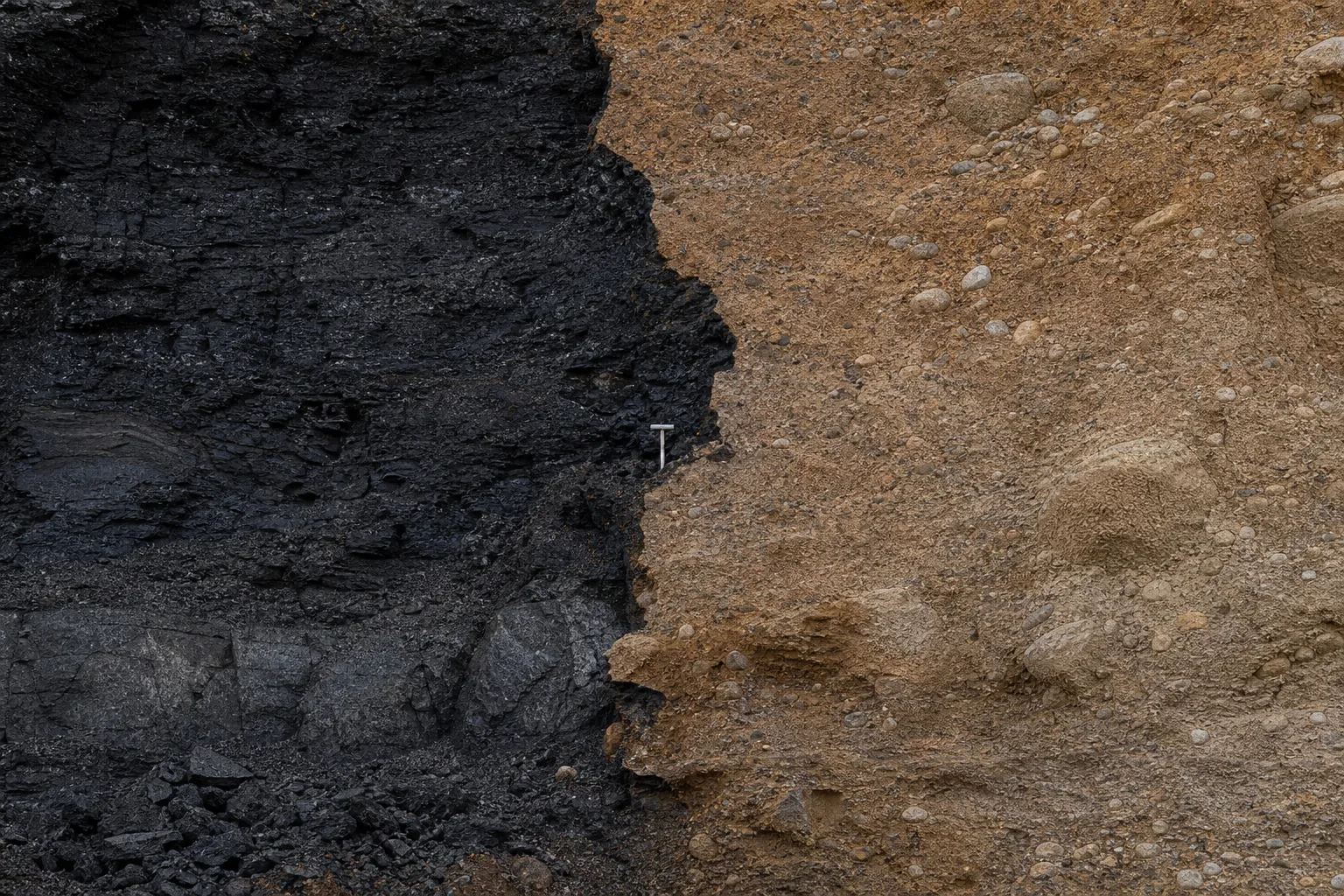
There is a moment in spring when meltwater runs over ground that still refuses it.
Not figuratively.
The snow is becoming liquid water.
The soil beneath can be frozen, saturated, compacted, sealed, or simply connected too quickly to a ditch and then a channel for infiltration to decide the matter.
Water moves across the surface because, for that interval, the basin has changed its rules.
The change is brief.
Its consequences are not.
In the South Saskatchewan River watershed, as in any managed snowmelt basin, a spring peak is not only a high line on a hydrograph. It is the arrival of water at particular places, in a particular order, under constraints that cannot be read from the annual total.
Storage begins to fill or empty.
Diversions and withdrawals meet a different supply.
A downstream station records a changed signal.
Users separated by distance and time begin to make claims about the same moving volume.
A basin is said to have water, or not to have it.
The problem is timing.
Snow stores water before it flows
Snow-water equivalent is the first correction.
It measures the liquid water held in the snowpack, not the depth of snow above the ground.
Across 10 km², an average 150 mm of snow-water equivalent represents about 1.5 million m³ of liquid water before losses and storage changes.
That is enough to command seasonal attention.
It is not a release schedule.
The difference matters because snow separates precipitation from runoff in time.
Snow is a store.
The hydrograph is what happens when that store is released through a particular landscape.
Before meltwater can drain freely through a pack, the pack has to warm to isothermal 0 °C. It can then hold liquid water before drainage begins.
Temperature is relevant.
So are radiation, wind, rain, canopy and the internal state of the pack, each of which can alter the rate at which water actually leaves it.
This is why a temperature-index model can be useful for routine planning and unfit for an extreme flood claim. NRCS hydrology guidance warns against using temperature-index methods to determine extreme flood peaks, because extrapolating melt-rate coefficients is severe.
A warm forecast is not yet a design discharge.
The snow is there.
The water is not yet at the outlet.
The ground decides whether melt becomes a peak
The second correction is harder, because it is distributed across the basin.
Snowmelt does not meet one uniform surface.
Some water enters dry, permeable soil.
Some meets a saturated footslope where pore storage is exhausted. Some reaches a compacted patch, a road, a ditch, a culvert, an impervious surface or a channel margin.
The contributing area expands as wetness changes.
A fraction of a catchment may be producing saturation-excess runoff at one moment.
That fraction is not a permanent property.
Further wetting can enlarge the active area without moving the watershed divide by a metre.
The peak can rise nonlinearly while melt intensity holds steady.
Under infiltration-excess conditions the opposite mistake is common.
A high average infiltration capacity is treated as an answer for every surface. A small compacted patch generating a shallow depth of excess contributes little volume by itself.
It can still be decisive if it drains directly to a culvert inlet with little storage between source and channel.
The mechanism changes the map.
A USGS comparison found modelled phosphorus concentrations substantially higher under saturation-excess distributions than under infiltration-excess distributions of the same runoff.
Those values belong to particular catchments.
The lesson travels.
A model can obtain a plausible runoff total and still identify the wrong places as the sources.
Frozen ground makes this sharper.
It is not merely cold weather in the background of the event. It can close an infiltration route at the same moment snow begins to yield water.
A basin can move meltwater quickly before soils accept it, then behave differently once thaw changes the available storage.
Runoff generation is not weather.
It is weather meeting a surface with a history.
A water balance is not a station record
This is where the physical event becomes an accounting problem.
A water balance requires a declared boundary.
It brings together gains, losses and change in storage. Precipitation, melt, inflow, pumping, evaporation, seepage, discharge, and changes in soil, wetland, reservoir or pond storage do not become the same measurement merely because they all concern water.
A depth reported by a weather station is not a volume that a ditch, pond or diversion has to hold or route.
The conversion is ordinary arithmetic.
It is also the point where two unlike claims stop being interchangeable.
The same discipline applies at basin scale.
A catchment can receive a given depth and show little immediate outlet response, because the input stays as snow, soil water, surface storage or channel storage. Another catchment with those stores already filled responds rapidly to the same input.
Equal precipitation totals need not produce equal streamflow totals in the same interval.
If a water account closes negative, it has not discovered negative water. It has exposed a problem in the represented boundary, flux, storage change or measurement basis.
The residual is evidence.
It should be reported, not silently assigned to the term nobody happened to measure.
This is where annual abundance diverges from seasonal availability. A reservoir, a wetland, a snowpack and a soil profile can each reduce or delay a peak while still passing water later.
Reduced peak is not the same statement as reduced yield.
One concerns timing.
The other concerns a stated volume over a stated period.
There is no allocation without that distinction.
There is only a dispute over a number whose boundary has not been named.
The boundary creates the upstream claim
A watershed is not simply the land visible beside a river. It is the contributing area defined by an outlet.
Delineation states which slopes, tributaries, storage features and constructed connections can influence the point where a decision is being made. It is how an upstream influence becomes relevant to a downstream record.
Scale changes the question.
A local source-water plan may concern a few square kilometres above an intake.
A large-basin agreement may cross provinces.
Federal reporting works at the scale of ocean drainage.
All of them are watersheds.
They are not interchangeable management units.
Nested boundaries make the work possible.
A large basin can establish an outcome.
A sub-basin can prioritize effort.
A local catchment can locate a drain, an eroding outlet, a road crossing or a withdrawal connection.
A municipal boundary may suit rates or permits and still be a poor water boundary, if the contributing land lies outside it.
On the Prairies the blue-line map is particularly incomplete. Natural depressions, wetlands, roadside ditches, culverts and constructed drains can determine connectivity as much as a visible stream. Water can spread, stop, be stored, then be redirected through works.
Saskatchewan guidance uses 5,000 m³ as a threshold in some non-domestic dugout approval decisions.
The threshold does not define a watershed.
It shows why small storage and outlet works need individual treatment.
Constructing a route changes who is connected to whom. A small feature can be locally routine and cumulatively important. A storage feature can delay water without removing it from the larger account.
The physical water is continuous.
The map of responsibility is not.
A hydrograph has to survive a gage
Once water reaches a channel, another translation begins.
A streamgage commonly records stage continuously.
Discharge is estimated through a relation between stage and measured flow. The line on a public hydrograph is not raw water speaking for itself.
It is a maintained inference.
Field teams measure depth and velocity in a series of verticals across a cross-section, then sum the subsection flows. Stage may be logged every quarter hour, and more often during a sharp rise.
The different observations do different work.
One captures a changing level.
The other anchors the conversion from level to discharge.
That conversion can change.
Deposition, scour, vegetation, debris, ice and backwater can alter the control that made an earlier rating valid.
A given rise in stage is not a universal discharge increment. Its meaning depends on local slope, channel geometry and the rating curve. Hydrographers revisit gages on a routine cycle, and also measure high flows, to keep ratings current.
This is not an argument against gages.
It is an argument for knowing what they claim.
At a flat, backwater-affected site one stage can correspond to more than one discharge, because water-surface slope and velocity also matter. Index-velocity methods can supplement stage with measured velocity and area. The record is useful precisely because its method can be inspected.
Station placement decides the reach of the evidence.
A station below a reservoir, diversion, tributary, drain or return flow records a combined signal.
A station above one of them does not.
Neither record is the basin in miniature.
Each is a measurement at a particular position in an engineered and natural network.
Monitoring is where a physical event becomes a contestable fact.
Probability does not allocate a drop
Flood frequency introduces another useful number and another possible misuse.
A 1% annual exceedance probability flow has a one-in-a-hundred chance of being equalled or exceeded in a given year, under its probability model.
The label does not name a local flow in cubic metres per second. It does not guarantee that a structure will be protected for a set number of years.
It does not schedule the next flood.
Hydrology provides the design flow.
Hydraulics translates that flow into water level, velocity and inundation through a particular bridge, culvert, floodplain or channel.
For an ungaged site, regional analyses, nearby records, rainfall-runoff modelling and documented historical floods may all be relevant. The governing design criterion is still a separate, local question.
This matters once snowmelt becomes an allocation argument.
A frequency estimate describes a probability under stated evidence and assumptions. It does not decide who may store, divert, release or receive water during the next spring.
Those are institutional choices, made under rules that have to be verified from current primary sources.
The forecast is not a licence.
The gage is not an operating rule.
The conflict begins after arrival
By the time a snowmelt peak reaches a downstream user, the physical chain has already passed through snow storage, energy release, frozen or saturated ground, expanding contributing areas, wetlands and works, channels, reservoirs and measurement systems.
A claim about available water is never only a claim about the sky.
The South Saskatchewan River watershed supplies the address for that general fact. The same basin can hold annual water on paper and a shortage at a particular place and season.
Upstream storage can be valuable to one operation and a delayed flow to another. A lower spring peak can be a routing outcome rather than a loss. A station can document a change and remain unable to isolate its cause, without stations, methods and boundaries that resolve the intervening system.
The temptation is to look for one decisive number.
Snowpack.
Annual flow.
Reservoir level.
A withdrawal total.
A flood frequency.
A gage reading.
None is enough.
The right object is the chain.
Snowmelt provides water at a time.
Hydrology explains how it moves, waits, infiltrates or runs off. Watershed governance decides how that moving, delayed and measured water is accounted for among places that cannot all occupy the same point on the hydrograph.
Everything after the melt is allocation.
What don’t we know?
The central unknown is not whether snow holds water.
It does.
Nor is it whether frozen or saturated ground can accelerate runoff.
It can.
The unknown is the particular combination in a particular season.
Snowpack condition.
Rain and energy inputs.
Frozen-ground extent.
Antecedent wetness.
Land cover.
Drainage connections.
Storage operations.
And the measurements available at the places where decisions are made.
A measured 150 mm of snow-water equivalent across 10 km² names about 1.5 million m³ of potential liquid water before losses and storage changes.
It does not tell a manager the release date.
Or the fraction that will infiltrate.
Or the peak at a downstream station.
Or the effect of a reservoir operation.
Or the water available to a particular user.
Each of those conclusions requires another part of the chain.
That is not a failure of the forecast.
It is the structure of the system.
Water arrives as a physical event.
It becomes a governance problem because it arrives somewhere, not everywhere, and now, not all year.